|
 |
 |
 |
Washington and the Olympic Peninsula PHOTOS - Page 1
(Click on the small photos to see a larger version)
|
|
|
|
|
 |
 |
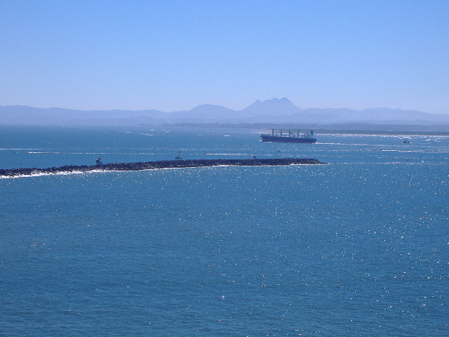 Entering the Columbia River |
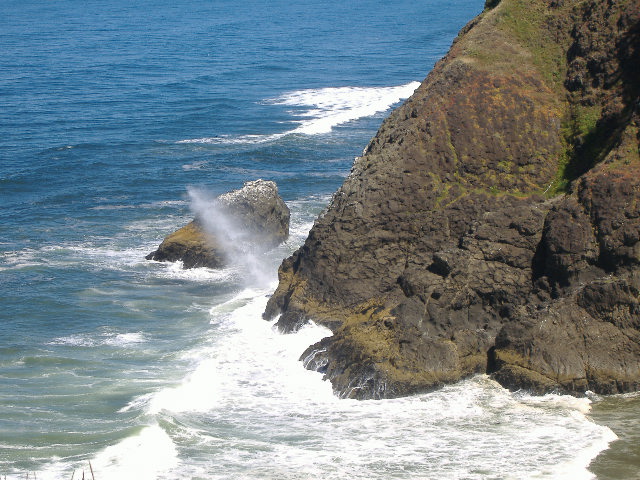
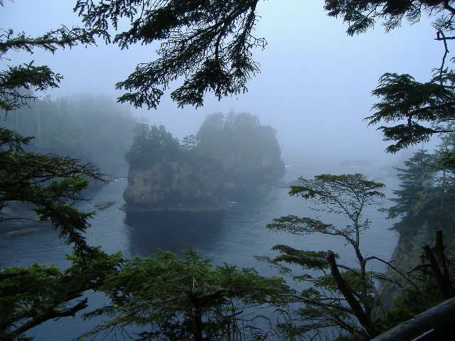
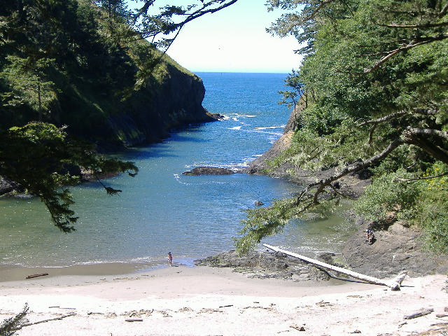 Dead Mans Cove |
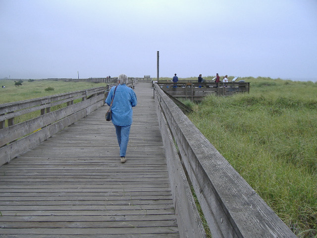
Kalaloch area - Olympic National Park
|
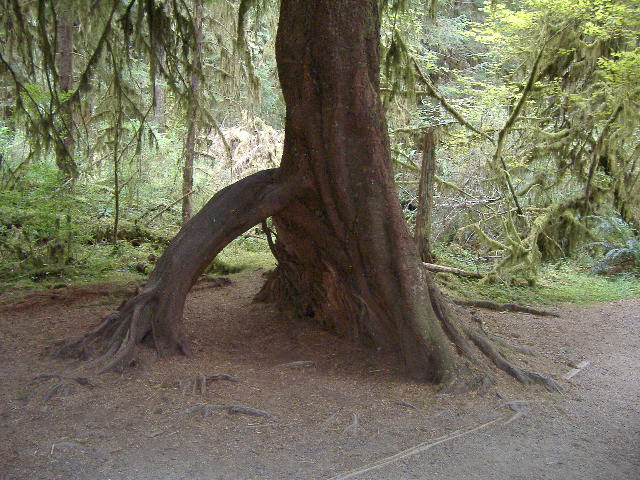
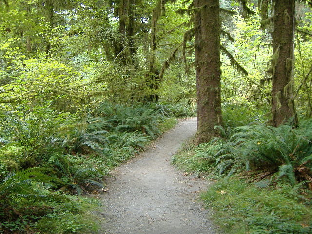
 Big Cedar |
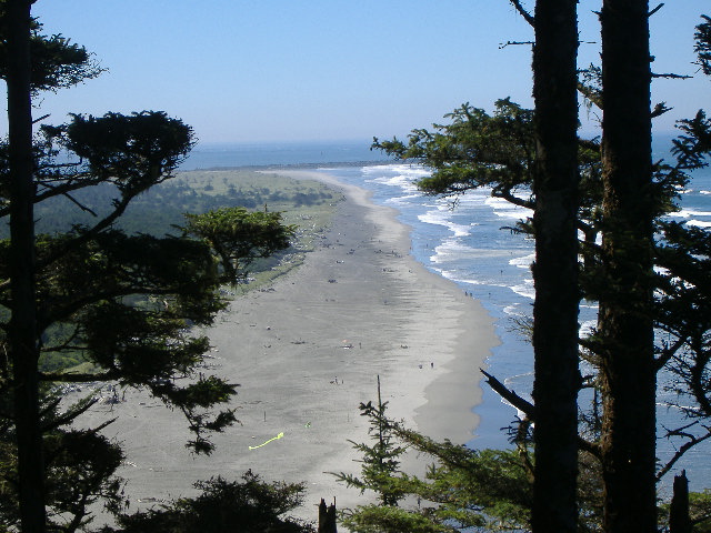
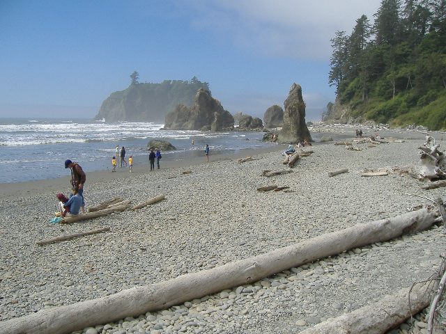
 Ruby Beach |
 |
 |
 |
 |
 |
 The water is so clear such that you can't tell these plants are under the water |
 |
 |
 |
 |
 |
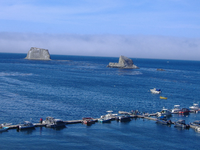 Neah Bay |
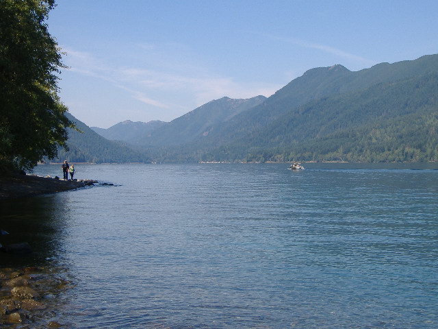
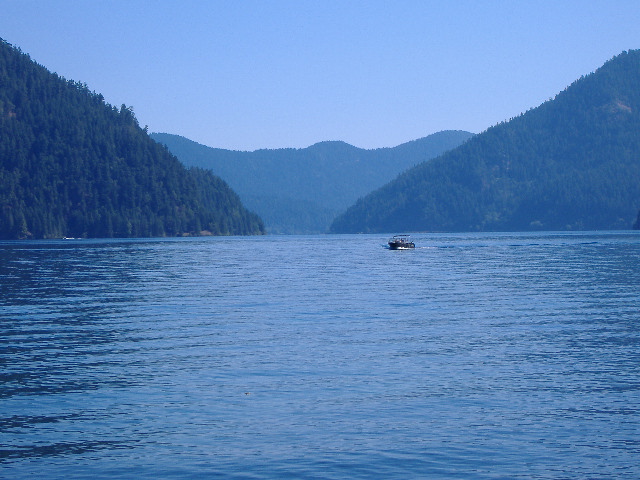 Lake Crescent |
 |
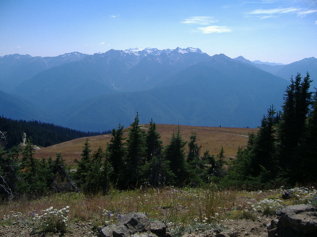
 The Olympic Mountains |
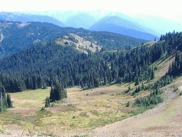 We started way down below the bare ridge in the distance |
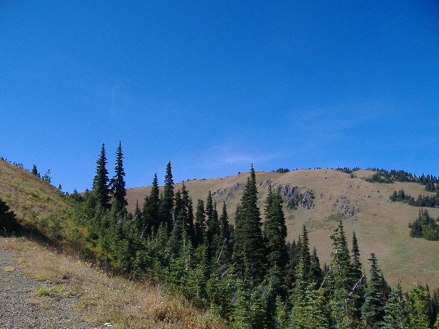 And climbed to the top in the center of the photo |
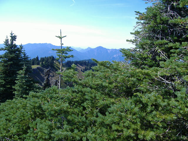
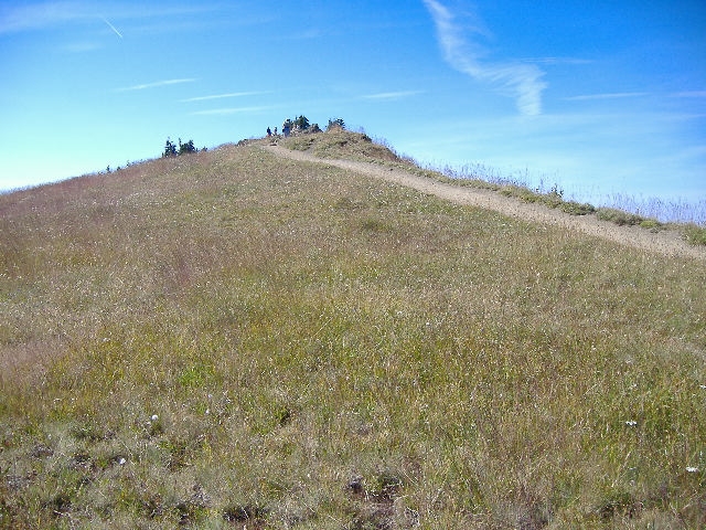 The final climb to the top |
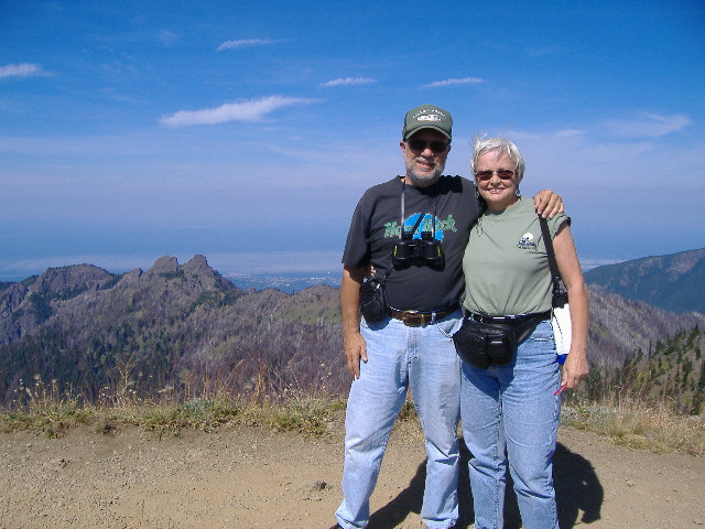 On the top of Hurricane Hill |
 Mountain flowers |
 (Mount Olympus - 7,980 feet) A 360 |
 degree view |
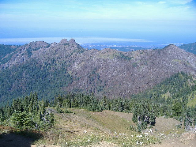 (Port Angeles down below) from the top of |
 Hurricane Hill - 5,757 feet |
Copyright © 2005, Roaming
America with Rich &
Diane Emond -
All Rights Reserved